DATABASE: UPDATES
JULY 2023 - AUGUST 2024
There have been no new submissions from July 2023 - August 2024.
JUNE 2023
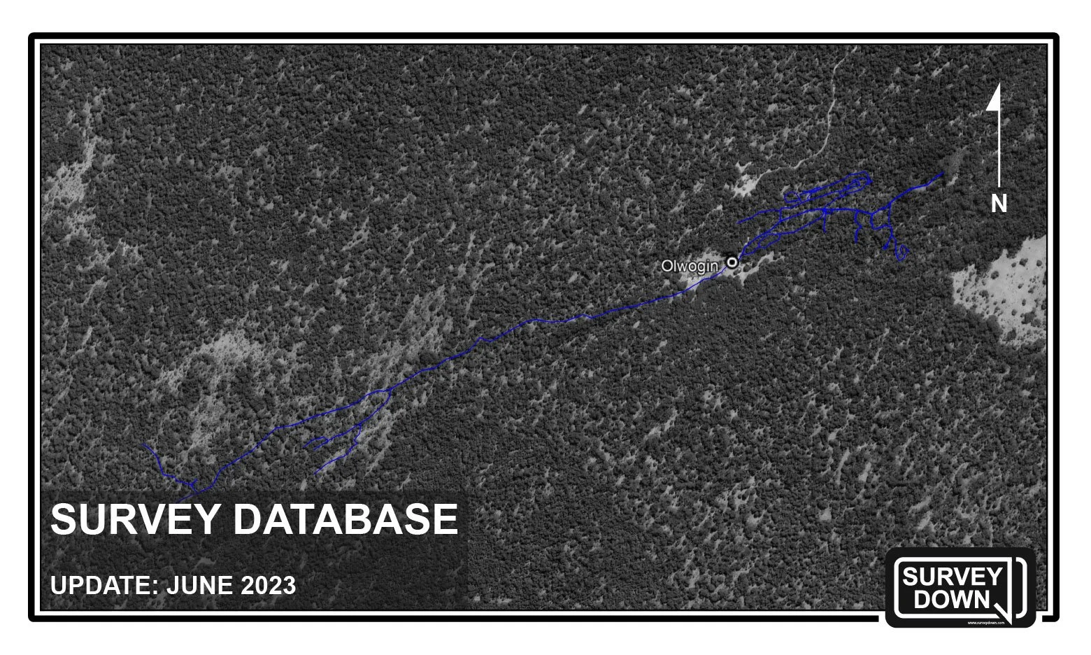
The June 2023 update includes over 900 meters / 2953 feet of survey from the upstream section of Olwolgin Cave, located in the Nullarbor region of Western Australia.
Submission Form:
Cave system: Olwolgin Cave
Location: Roe Plains, Western Australia, Australia
Length of survey: 1546 meters / 5072 feet
Date of survey: June 2023, previously updated September 2022
Entrances: Olwolgin
Summary: This survey includes all known lines of the upstream section of Olwolgin Cave.
Note: Access is allowed by permit through the Western Australian Department of Parks and Wildlife.
DECEMBER 2022 - MAY 2023
There have been no new submissions from December 2022 - May 2023.
NOVEMBER 2022
The November 2022 update includes 422 meters / 1384 feet of survey from Englebrecht Cave, located in the Limestone Coast region of South Australia.
Submission Form:
Cave system: Englebrecht Cave
Location: Limestone Coast, South Australia, Australia
Length of survey: 422 meters / 1384 feet
Date of survey: Last updated November 2022
Entrances: Englebrecht's West
Summary: Includes all existing lines from Englebrecht's East Extension.
Note: Access is restricted to CDAA Members only. More information regarding the Cave Divers Association of Australia can be found at the official CDAA website, or the CDAA Facebook page.
OCTOBER 2022
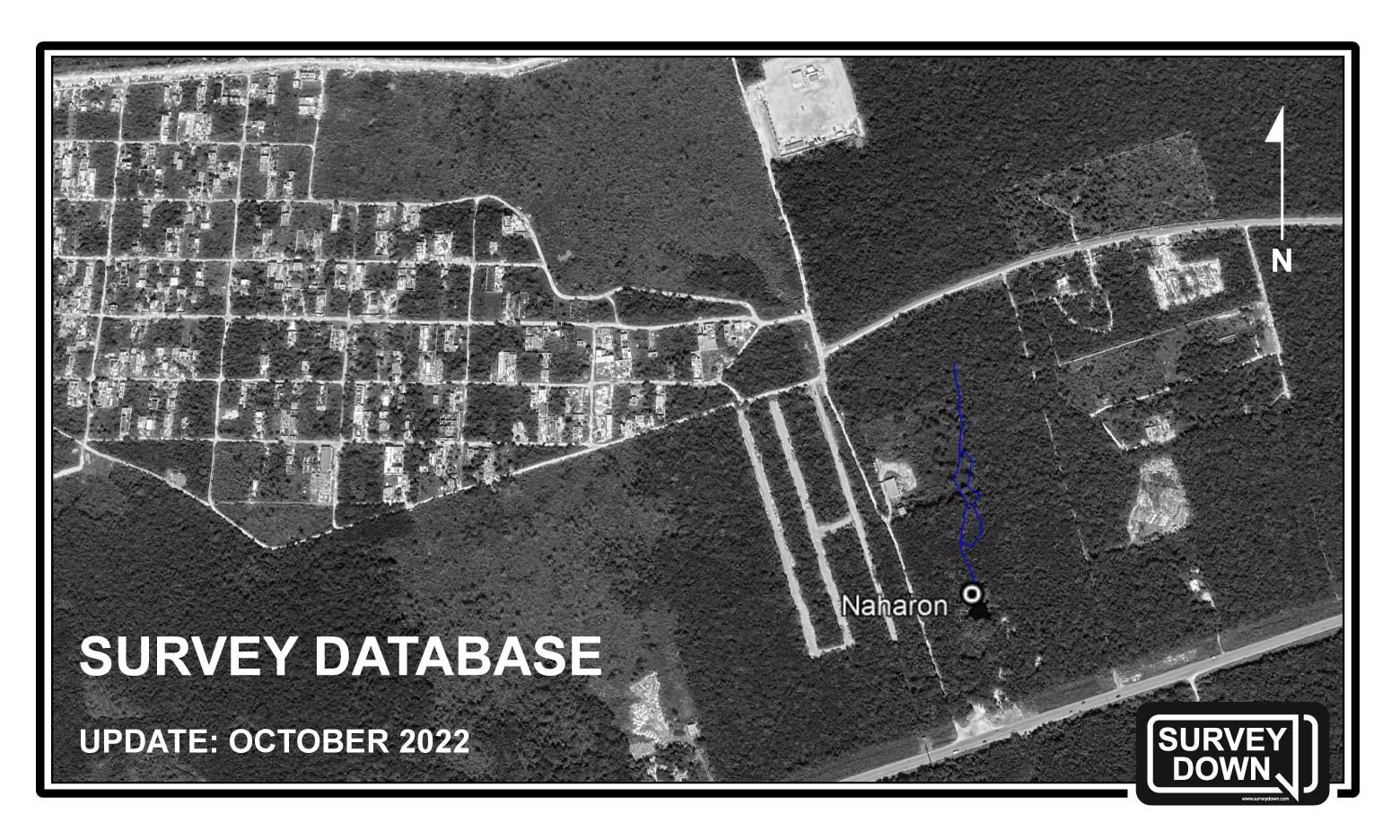
The October 2022 update includes 328 meters / 1076 feet of survey from the Cenote Naharon area of Sistema Ox Bel Ha in Tulum, Mexico. The data has been contributed by Peter Liem and Jeff Holcomb.
Submission Form:
Cave system: Sistema Ox Bel Ha
Location: Tulum, Quintana Roo, Mexico
Length of survey: 328 meters / 1076 feet
Date of survey: Last updated October 2022
Surveyed by: Peter Liem and Jeff Holcomb
Entrance: Cenote Naharon
Summary: Mainline and secondary line survey going upstream from Cenote Naharon.
Note: Cenote Naharon is open to the public and has an entrance fee that is paid for on-location. Naharon is also known as Cenote Cristal.
SEPTEMBER 2022
The September 2022 update includes 3,888 meters / 12,756 feet of survey from the Nullarbor region of Western Australia.
Submission Forms:
Cave system: Burnabbie Cave
Location: Roe Plains, Western Australia, Australia
Length of survey: 1,543 meters / 5,062 feet
Date of survey: Last updated Sept. 2022
Entrances: Burnabbie
Summary: The survey includes all sections except for Warbla World.
Note: Access is allowed by permit through the Western Australian Department of Parks and Wildlife.
Cave system: Olwolgin Cave
Location: Roe Plains, Western Australia, Australia
Length of survey: 2,116 meters / 6,942 feet
Date of survey: Last updated Sept. 2022
Entrances: Olwolgin
Summary: The upstream survey includes the mainline and Nest of Avens Labyrinth section. The downstream survey includes the A Line and partial survey of the N Line.
Note: Access is allowed by permit through the Western Australian Department of Parks and Wildlife.
Cave system: Slot Cave
Location: Roe Plains, Western Australia, Australia
Length of survey: 229 meters / 751 feet
Date of survey: Last updated Sept. 2022
Entrances: Slot Cave
Summary: The survey includes all sections of the cave.
Note: Access is allowed by permit through the Western Australian Department of Parks and Wildlife.
AUGUST 2022
The August 2022 update includes 9,515 meters / 31,217 feet of survey from the Limestone Coast region of South Australia.
Submission Forms:
Cave system: Tank-Fossil Cave
Location: Limestone Coast, South Australia, Australia
Length of survey: 7,910 meters / 25,951 feet
Date of survey: Last updated August 2022
Entrances: Fossil West, and Fossil East
Summary: The survey includes all unrestricted sections of the Tank-Fossil cave. (Excludes Easter Extension and Control Zone).
Note: Access is restricted to CDAA Members only. More information regarding the Cave Divers Association of Australia can be found at the official CDAA website, or the CDAA Facebook page.
Cave system: Allendale East
Location: Limestone Coast, South Australia, Australia
Length of survey: 62 meters / 203 feet
Date of survey: Last updated August 2022
Entrances: Allendale East
Summary: Includes all known passages except for the 27m fissure. The cave does not contain line, so the survey was completed using a reel & survey pegs.
Note: Access is restricted to CDAA Members only. More information regarding the Cave Divers Association of Australia can be found at the official CDAA website, or the CDAA Facebook page.
Cave system: Bakers Cave
Location: Limestone Coast, South Australia, Australia
Length of survey: 155 meters / 508 feet
Date of survey: Last updated August 2022
Entrances: Bakers Cave
Summary: The survey includes all existing line.
Note: Access is restricted to CDAA Members only. More information regarding the Cave Divers Association of Australia can be found at the official CDAA website, or the CDAA Facebook page.
Cave system: Englebrecht's West
Location: Limestone Coast, South Australia, Australia
Length of survey: 283 meters / 928 feet
Date of survey: Last updated August 2022
Entrances: Englebrecht's West
Summary: Includes all existing line except for the southern branch from the main air chamber. Englebrecht's East will be included at a later date.
Note: Access is restricted to CDAA Members only. More information regarding the Cave Divers Association of Australia can be found at the official CDAA website, or the CDAA Facebook page.
Cave system: Iddlebiddy Cave
Location: Limestone Coast, South Australia, Australia
Length of survey: 359 meters / 1178 feet
Date of survey: Last updated August 2022
Entrances: Iddlebiddy
Summary: Includes all existing line.
Note: Access is restricted to CDAA Members only. More information regarding the Cave Divers Association of Australia can be found at the official CDAA website, or the CDAA Facebook page.
Cave system: The Pines
Location: Limestone Coast, South Australia, Australia
Length of survey: 501 meters / 1644 feet
Date of survey: Last updated August 2022
Entrances: The Pines
Summary: All existing line, including the entrance cavern, White Room, and Wedge Room.
Note: Access is restricted to CDAA Members only. More information regarding the Cave Divers Association of Australia can be found at the official CDAA website, or the CDAA Facebook page.
Cave system: Stinging Nettle Cave
Location: Limestone Coast, South Australia, Australia
Length of survey: 123 meters / 404 feet
Date of survey: Last updated August 2022
Entrances: Stinging Nettle Cave
Summary: Includes all existing line.
Note: Access is restricted to CDAA Members only. More information regarding the Cave Divers Association of Australia can be found at the official CDAA website, or the CDAA Facebook page.
Cave system: Nettlebed Cave
Location: Limestone Coast, South Australia, Australia
Length of survey: 122 meters / 400 feet
Date of survey: Last updated August 2022
Entrances: Nettlebed
Summary: Includes all existing line.
Note: Access is restricted to CDAA Members only. More information regarding the Cave Divers Association of Australia can be found at the official CDAA website, or the CDAA Facebook page.
JUNE 2022
The June 2022 update includes approximately 4,875 meters / 16,000 feet of survey from the Cenote Chun-Ya area of Sistema Sac Actun in Tulum, Mexico. The data has been contributed by diver, Patrick Picard (IG: @patpicos).
Submission Form:
Cave system: Sistema Sac Actun
Location: Tulum, Quintana Roo, Mexico
Length of survey: ~4,875 meters / 16,000 feet
Date of survey: Last updated June 2022
Surveyed by: Patrick Picard (IG: @patpicos)
Entrance: Cenote Chun-Ya
Summary: Mainline and secondary line survey going downstream from Cenote Chun-Ya through the area of Cenote Venom, and finishing at Cenote Caracol.
Note: Pay the entrance fee for Cenote Chun-Ya at Cenote Nohoch Nah Chich.
JANUARY 2022 - MAY 2022
There have been no new submissions from January 2022 - May 2022.
DECEMBER 2021
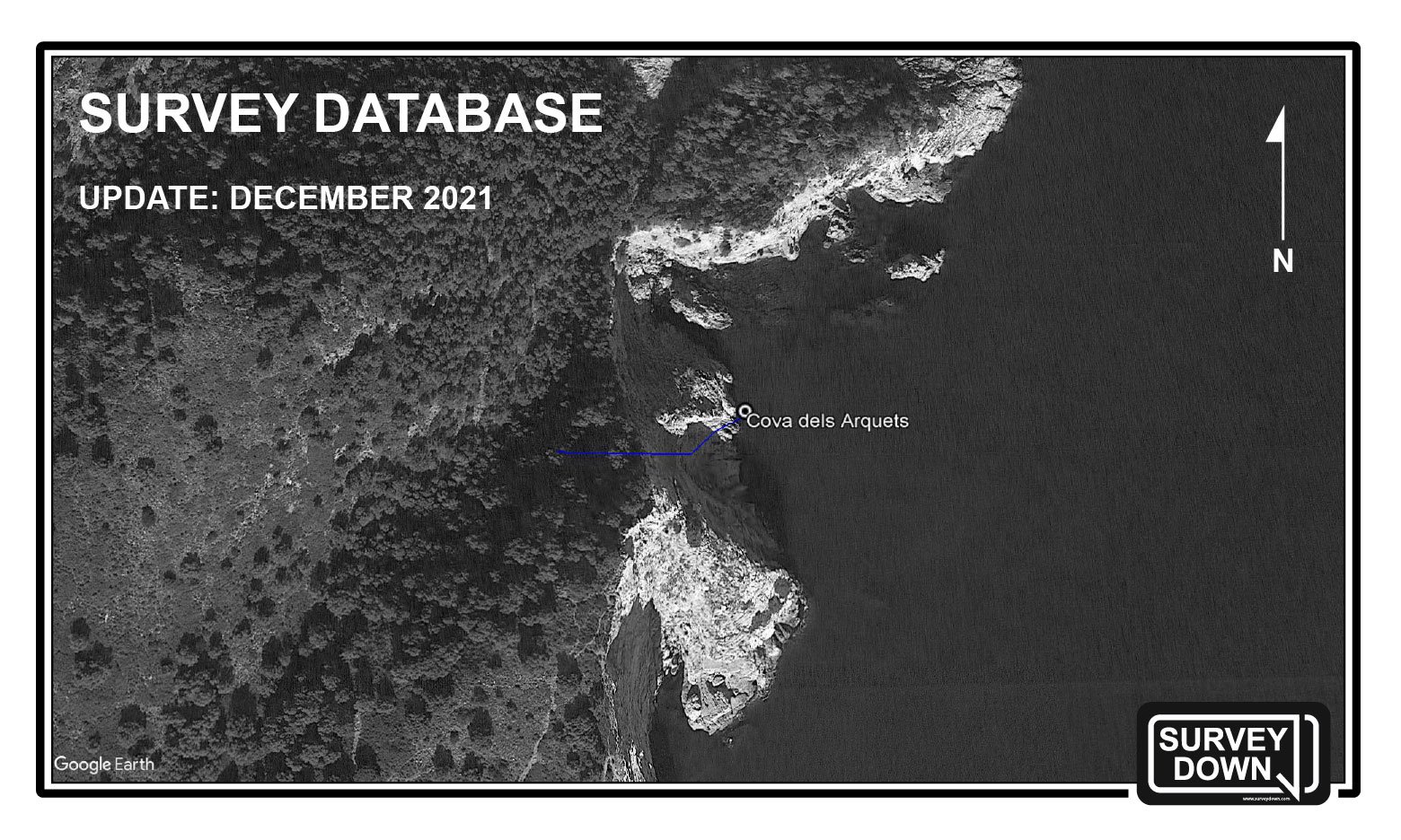
The December 2021 update includes 70 meters / 230 feet of survey data from Cova dels Arquets, a marine cave located in L’Estartit, Spain. The data and map have been contributed by cartographer, Fabio Rueda.
More information on the project, including the map of Cova dels Arquets, can be found on Fabio’s diving blog.
Submission Form:
Cave system: Cova dels Arquets
Location: L’Estartit, Girona, Spain
Length of survey: 70 meters / 230 feet
Date of survey: Last updated December 20, 2021
Surveyed by: Fabio Rueda
Entrance: Cova dels Arquets
Summary: Mainline survey to the end-of-line. A detailed report on the project and map of Cova dels Arquets can be found on the cartographer’s blog, here.
JULY 2021 - NOVEMBER 2021
There have been no new submissions from July 2021 - November 2021.
JUNE 2021
The June 2021 update includes 15,439.8 meters / 50,642 feet of survey data from the K’oox Baal cave system, contributed by Max Ardizzoni of Deep Bubbles Mexico. The K’oox Baal cave system is located in Chemuyil, Quintana Roo, and its major entrances include Cenote Nai Tucha, Cenote Coop One, Cenote Tres Estrellas, and Cenote KOI.
Submission Form:
Cave system: Sistema K’oox Baal
Location: Chemuyil, Quintana Roo, Mexico
Length of survey: 15,439.8 meters / 50,642 feet
Date of survey: Last updated June 9, 2021
Surveyed by: Max Ardizzoni of Deep Bubbles Mexico
Entrances: Nai Tucha, Tres Estrellas, Kot Be, KOI, Sac Xiquin.
Summary: Mainline and jump line survey through significant portions of the K'oox Baal cave system, including survey through the following cenotes: Kot Be, Balam Ts'Al, Jaguar, Chu, Lion, Dos Palapas, Sac Tu Cha, Tres Estrellas, Nai Tucha, KOI, and Sac Xiquin.
Note: All of the flagged entrances are open to the public and have an entrance fee that is paid for on-location at the cenote. Coordinates to cenotes that are not open to the public have been removed from this data set.
NOVEMBER 2020 - MAY 2021
There have been no new submissions from November 2020 to May 2021.
OCTOBER 2020
The October 2020 update includes 17,888 meters / 58,672 feet of survey data. Most of this update is from the Dos Ojos region of Sistema Sac Actun in Tulum, Quintana Roo. Small portions of Cenote Nohoch Nah Chich and Casa Cenote are also included.
Submission Form:
Cave system: Sistema Sac Actun
Location: Tulum, Quintana Roo, Mexico
Length of survey: 17,888 meters / 58,672 feet
Date of survey: Last updated September 2020
Surveyed by: Rory O’Keefe, Alex Fraser, Nick White, Roger Williams
Entrances: Dos Palmas, The Pit, Pet Cemetery, Nohoch Nah Chich, Casa Cenote.
Summary: Includes continuous mainline survey of the Dos Ojos region from Cenote Nicte Ha to The Pit. Other cenotes along this line include Dos Palmas, Dos Ojos, Tak Be Ha and Tikim Chi. Also included are nearly all jump lines of the Dos Palmas area and numerous jump lines from the Tak Be Ha area, plus approximately 620 meters of the mainline upstream in Nohoch Nah Chich, survey from Cenote Pet Cemetery to the Blue Abyss, and small portions of Casa Cenote.
Note: All of the flagged entrances are open to the public and have an entrance fee that is paid for on-location at the cenote. Coordinates to cenotes that are not open to the public have been removed from this data set.


